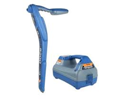
GPR Survey – Sub Surface Utility Mapping–SUE SURVEY - SUB SURFACE UTILITY ENGINEERING SURVEY.
This Survey generally carried with combination of
Ground Penetrating Radar and Pipe Cable Locator these two working with principle of Electromagnetic waves refraction due to di electric constant of passing material and Induction principle on electro magnetic pool created by any metal respectively.
Recording in the Survey area of existing Utility related features on ground by topographical Survey
Existing Manhole opening, Possible information on excavated or Utility open to visible also to be recorded.
Local information, Utility owner information and Previous available Utility Drawing information are to be co-related to our other survey information. These four survey information would be incorporated in our Utility Mapping as final Output of Under ground Utility Mapping.
Applications of GPR Survey
Sub surface Utility Mapping
Buried Material or Structure Depth and Location Survey
Rebar location in the concrete
Water leakage in water Main
Electrical Cable Position and depth , Tracing One Cable in Multi cable ( Bundle of cable) location.
Buried Man Holes in Urban infrastructure
Cavity under Road , Embankment inside Building
Auto Cad Work - All type of Auto cad Job Under taken
To find the difference in elevation of the existing ground. Contours are imaginary lines connecting the slopes of same height. The contour maps provide the condition of the existing terrain conditions, which helps the design team in deciding the proposed ground profile and in designing the drains etc. Topographical survey determines the characteristics of the details found on the surface (Locations of the buildings, roads, etc) of the earth and based on these inputs topographic maps are prepared.
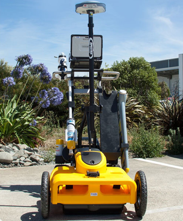
DGPS Survey
To establish network of points called control points or control stations. These points can be used for the subsequent measurements that are to be recorded at the site.
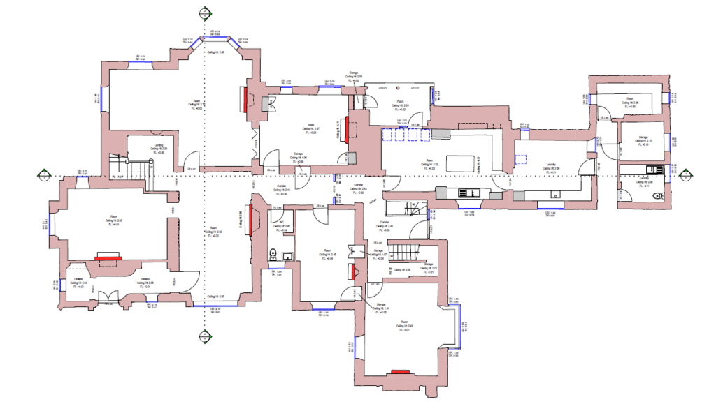
Measured Building Surveys
To prepare floor plans, elevations and sections of existing buildings to be provided for reconstruction projects, architectural, refurbishment or letting purposes and to resolve any sort of disputes with regards to area.
Volume Calculation
To compute the volume of cutting and filling while analyzing a ground profile for proposed industrial complexes, buildings, roads, strengthening and widening of roads, leveling or excavating the existing ground to the required depth etc.
HDD Machine Utility Installation
Horizontal Directional Drilling (HDD) is a trenchless method of installing underground pipes, conduits, or cables, using a surface-launched drilling rig to drill a bore path and then pull the desired infrastructure through it, avoiding surface disruption. Horizontal Directional Drilling (HDD) is a method of installing underground pipelines, cables and service conduit through trenchless methods.
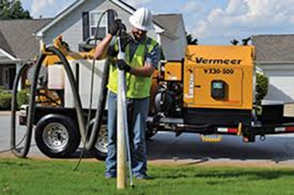
VACUUM EXCAVATOR
Vacuum excavation is new technology to India , We have Vacuum excavator from Vermeer USA . This will work in the principle of loosening the soil by heavy water pressure and air pressure . This loosen soil is sucked by vacuum pump through Hose to storage tank . This stored soil will be clear by mechanical system and the cycle of operation continue. This operation will help us to excavate without damaging the utility where the complexity of Utility in Urban locality.